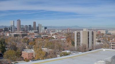
Tappahannock: US-360 MM 186.34 EB (Downing Bridge)
 Tappahannock, United States
Real-Time Environment
Welcome to the live streaming webcam for Tappahannock: US-360 MM 186.34 EB (Downing Bridge), perfectly situated in the vibrant region of Tappahannock, United States. Watching this live camera allows you to instantly experience the local atmosphere and monitor current climate conditions.

About Tappahannock, Virginia
Tappahannock is the oldest town in Essex County, Virginia, United States. As of the 2020 census, Tappahannock had a population of 2,193. Located on the Rappahannock River, Tappahannock is the county seat of Essex County. Its name comes from an Algonquian language word toppehannock, meaning "cold-water creek".
📖 Read more on Wikipedia📍 Location Facts
-
Country
 United States
- Region Virginia
- City Tappahannock
- Coordinates 37.9306°N, -76.8570°E
Have you been to Tappahannock?
Help the community! Share your experience, tell us about the weather, or upload your own photos from this exact location.